Route, GPS, Maps, Elevation Profile
Attention! Digital routes and maps may be partially modified, so the final version will be available a few days before the event!
This year – just as in 2025 – the arrival will take place in the courtyard of Tóbiás House.
The route of the Jókai Hiking 55 (Gy55) tour:
Camping Făget (START) – Bükk (Făget) forest – Adrenalin Park (CP 1) – Fountain with Barrel (CP 2) – Tureni Gorge (CP 3) – Szind (Sănduleşti) (CP 4) – Turda Gorge (CP 5) – Monastery Heights (CP 6) – Curmătura (CP 7) – Várfalva (Moldoveneşti) (CP 8) – Rakottyás (CP 8a) – Székelykő (Szekler Stone, Piatra Secuiului) (CP 9) – Torockó (Rimetea) (FINISH).
The length of the course is 55.4 km, the target time set by the organizers for the completion of the tour is 15 hours.
Total ascent: 1949 m, total descent: 2015 m.
The route of the Jókai Hiking 30 (Gy30) tour:
Szind (Sănduleşti) (START) – Turda Gorge (CP 5) – Monastery Heights (CP 6) – Curmătura (CP 7) – Várfalva (Moldoveneşti) (CP 8) – Rakottyás (CP 8a) – Székelykő (Szekler Stone, Piatra Secuiului) (CP 9) – Torockó (Rimetea) (FINISH).
The length of the race is 30,9 km, the target time set by the organizers for its completion is 12 hours.
Total ascent: 1380 m, total descent: 1309 m.
The route of the Jókai Hiking 17 (Gy17) tour:
Szind (Sănduleşti) (START) – Turda Gorge (CP 5) – Monastery Heights (CP 6) – Curmătura (CP 7) – Várfalva (Moldoveneşti) (FINISH).
The length of the course is 17.8 km, the target time set by the organizers for the completion of the tour is 8 hours.
Total ascent: 635 m, total descent: 703 m.
The route of the Jókai Hiking 10 (Gy10) tour:
Várfalva (Moldoveneşti) (START) – Rakottyás (CP 8a) – Székelykő (Szekler Stone, Piatra Secuiului) (CP 9) – Torockó (Rimetea) (FINISH).
The length of the race is 13,1 km, the target time set by the organizers for its completion is 8 hours and 30 minutes.
Total ascent: 756 m, total descent: 604 m.
The route is presented in detail with descriptions, printed and digital maps, as well as GPS track.
The maps and detailed route descriptions of the various tour variants can be downloaded from below:
- Gy10 map, Gy10 route description
- Gy17 map, Gy17 route description
- Gy30 map, Gy30 route description
- Gy55 map, Gy55 route description
We will place sign-boards and ribbons to mark the routes.
Tour difficulty: medium to difficult. The longer versions are recommended only for experienced and fit participants.
If for some reason you cannot or do not want to continue the tour, we recommend the following places (easily accessible by car) to drop out: Adrenalin Park, Tordatúr (Tureni), Szind (Sănduleşti), Turda Gorge, Várfalva (Moldoveneşti).
In exceptional cases (e.g. extreme weather conditions) the organizers reserve the right to change the tour course or to cancel the whole tour or certain stages of it.
The track can be downloaded in gpx format from here.
Attention! Those who do not wish to descend via the Nagy-árok can choose the alternative route marked with a red stripe, which leads down to Torockó through the forest. This route is also steep and can be very slippery after rain, but it does not involve rocky sections. The track including the alternative route can be downloaded by clicking here. The alternative route is 4.1 km long, while the descent through Nagy-árok is 2.6 km, so everyone can decide for themselves which way they prefer to walk down to the finish in Torockó.
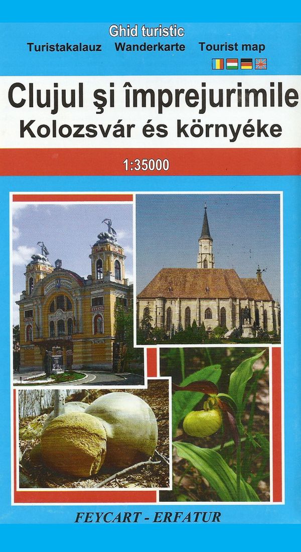
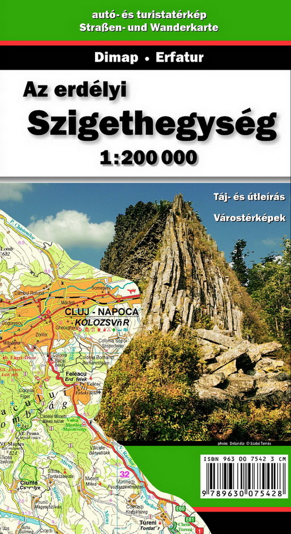
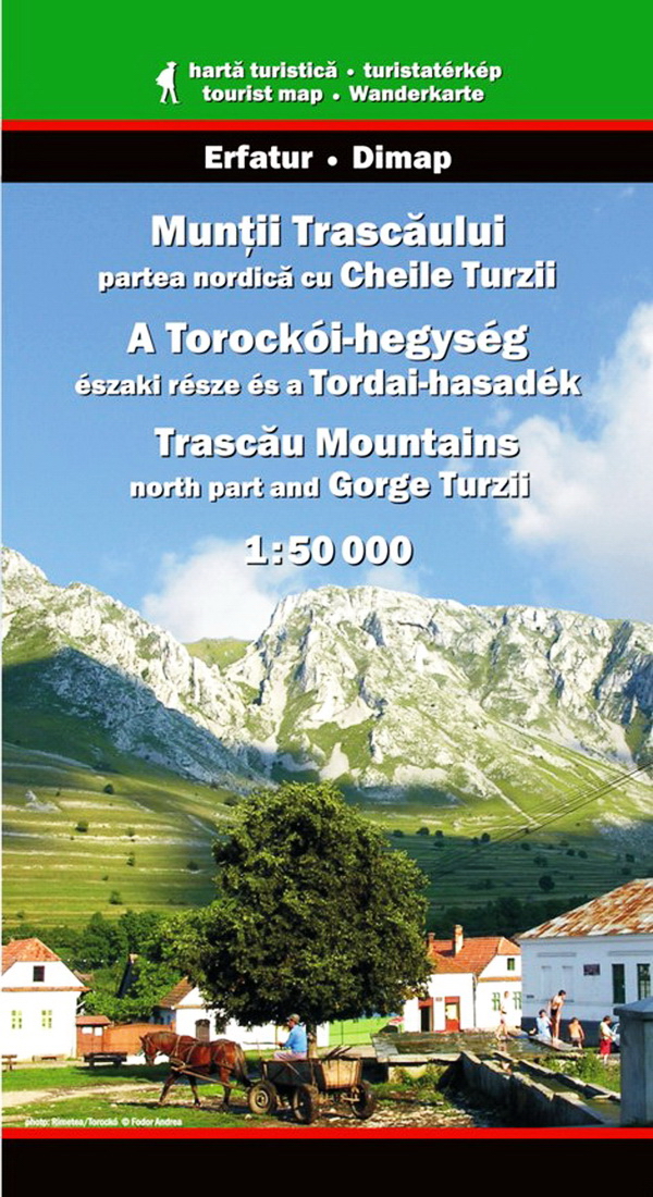
Other recommended maps
Beside the maps and directions provided by the organizers, we recommend the following printed maps, containing detailed information on certain sections of the Jókai endurance tour.